Pays-d’Enhaut: Hiking to Rocher des Rayes and Dent de Combette

Pays-d’Enhaut: Hiking to Rocher des Rayes and Dent de Combette

Article updated on 21.08.26

If you’re looking for a relatively short hike with a bit of a challenge, the Rocher des Rayes and Dent de Combette loop is a great option in the Pays-d’Enhaut.

The route takes you through pastures and forests before climbing higher into the Vaud and Fribourg Prealps. The main loop is around 7 km with 600 metres of elevation gain and includes a few slightly exposed sections as well as some sections equipped with chains, without being overly technical.

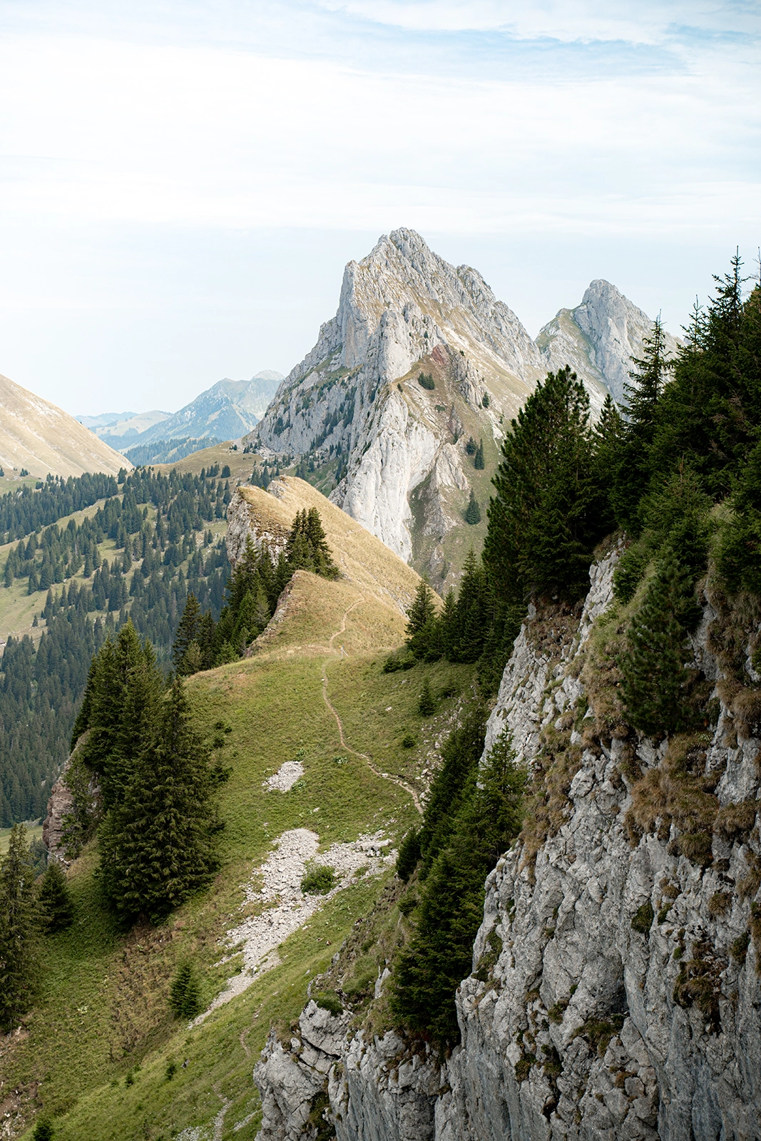
For those who are comfortable with heights, it’s also possible to add the climb to the summit of Dent de Combette. This section, however, is much more demanding and rated T4.

Here’s everything you need to know to prepare for this hike.

How to get there ?

From Château-d’Œx or Rougemont, follow the road towards the Vallée de la Manche.

There is no official car park at the trailhead, so you’ll need to park along the road. Make sure you don’t obstruct traffic and be respectful of the surrounding fields and the homes of local farmers.

📍 Approximate coordinates of the starting point : 46.51969, 7.20401

Hiking to Rocher des Rayes

🥾 7 km (loop) | +600 m | -600 m
⏱️ Around 3 hours
🚩 Start: 46.5189, 7.2035
🏔️ Difficulty: T3
📅 Recommended season: summer and autumn

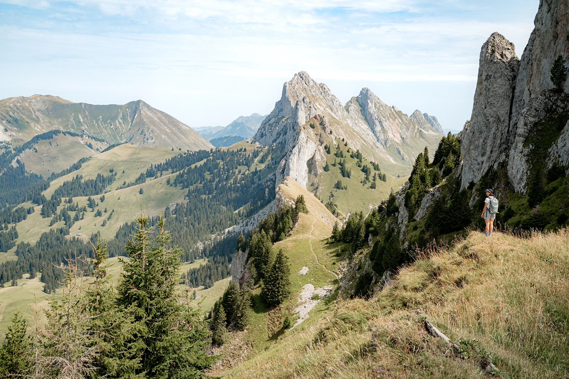
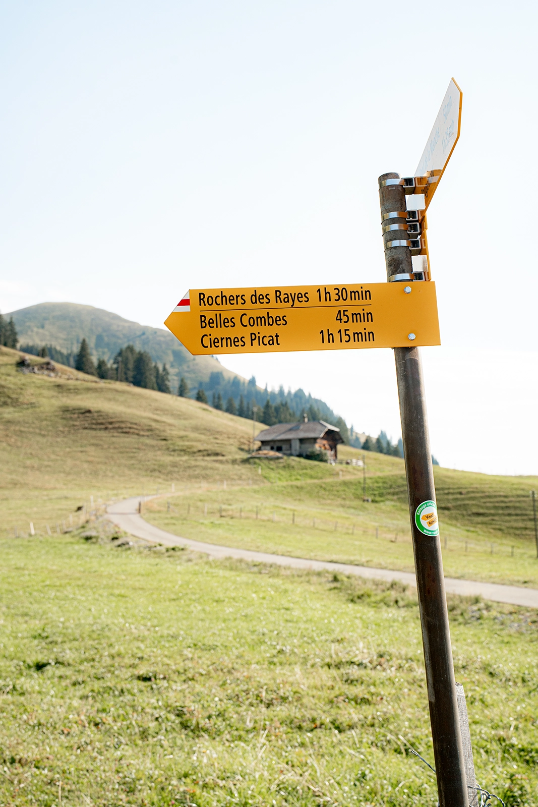
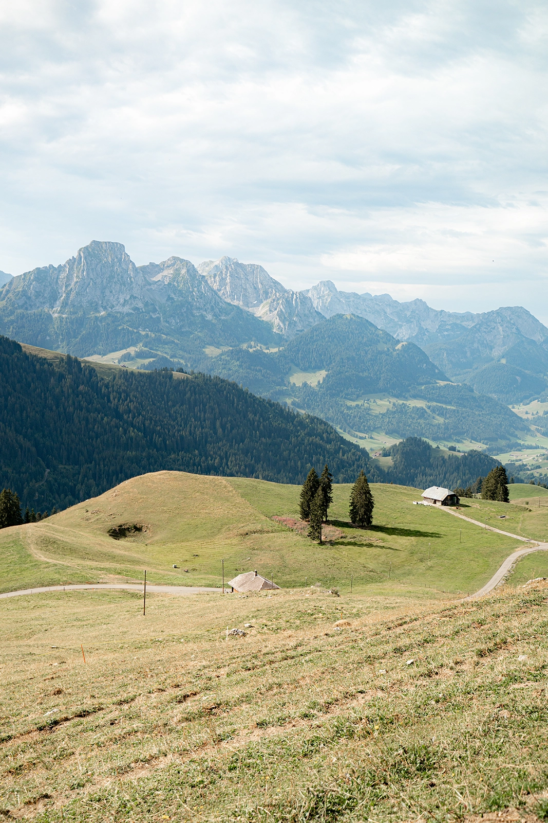
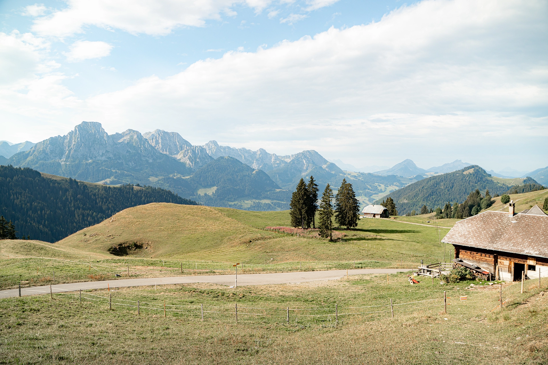
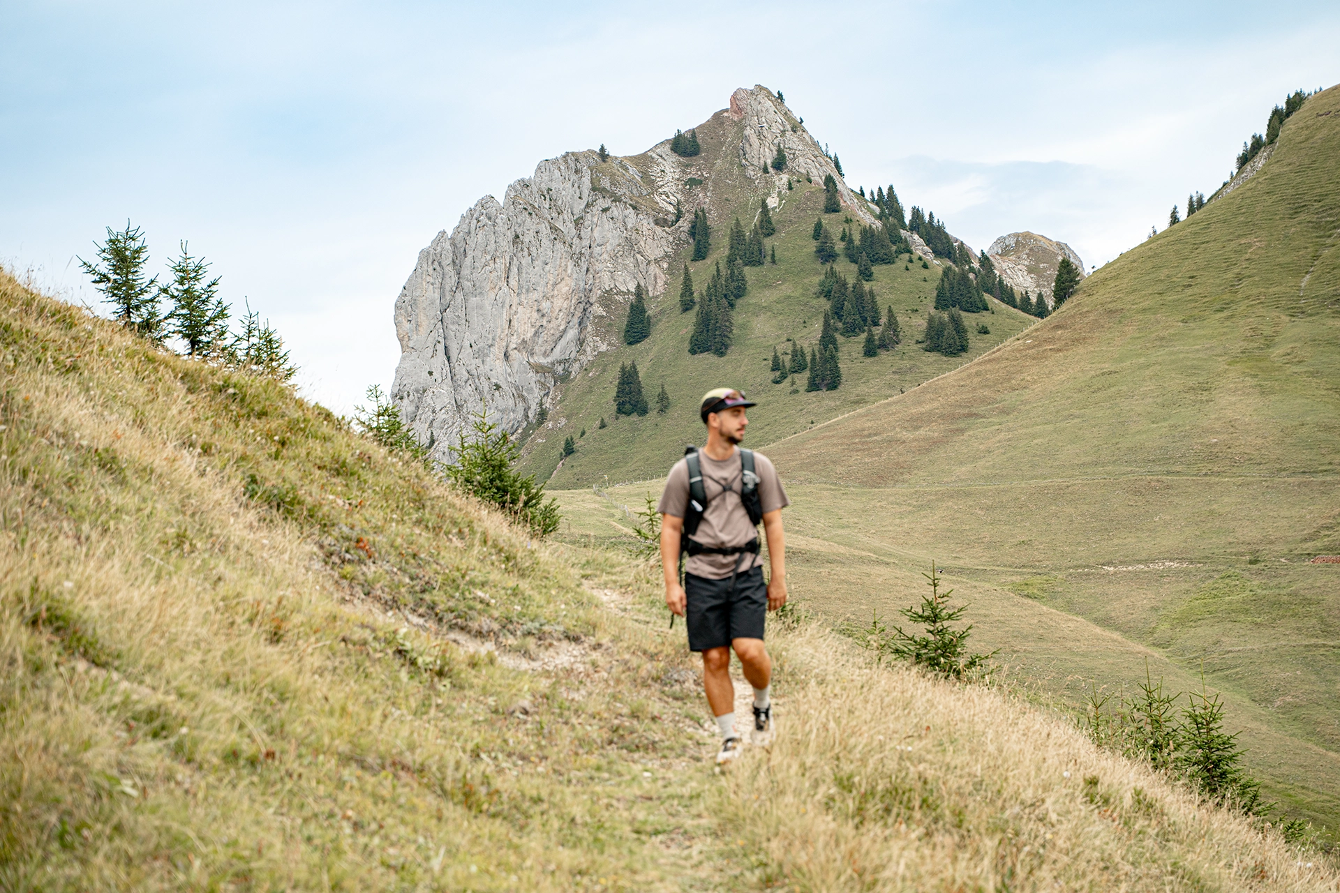
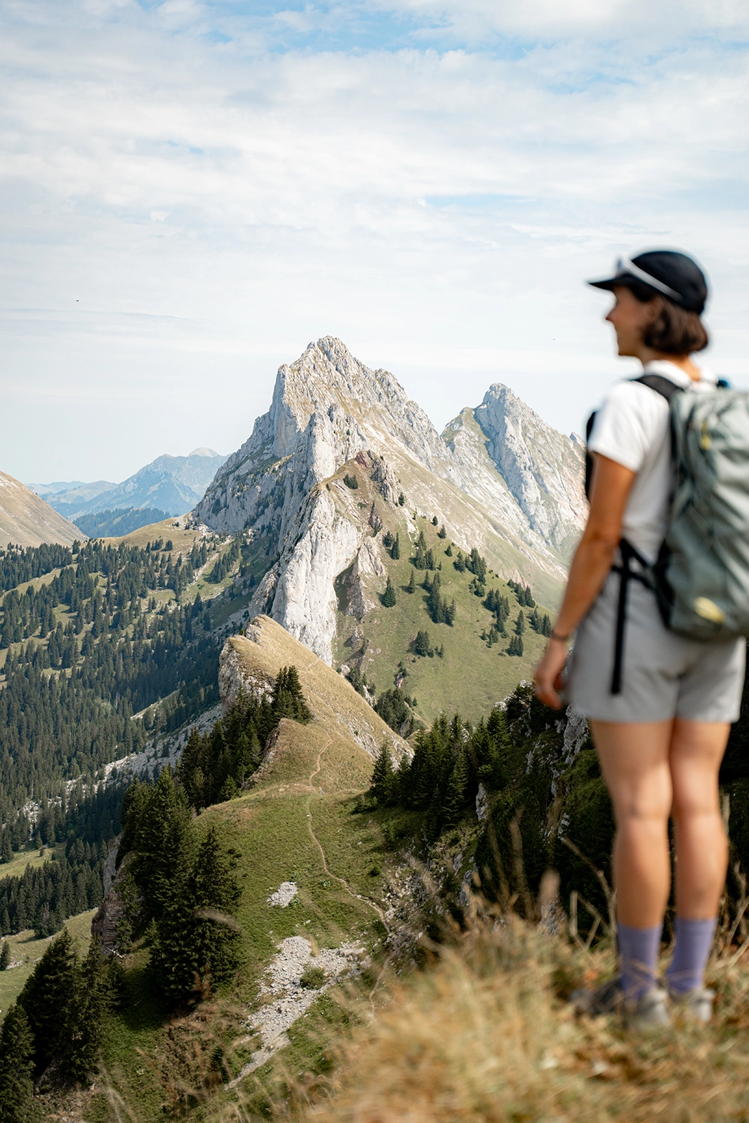
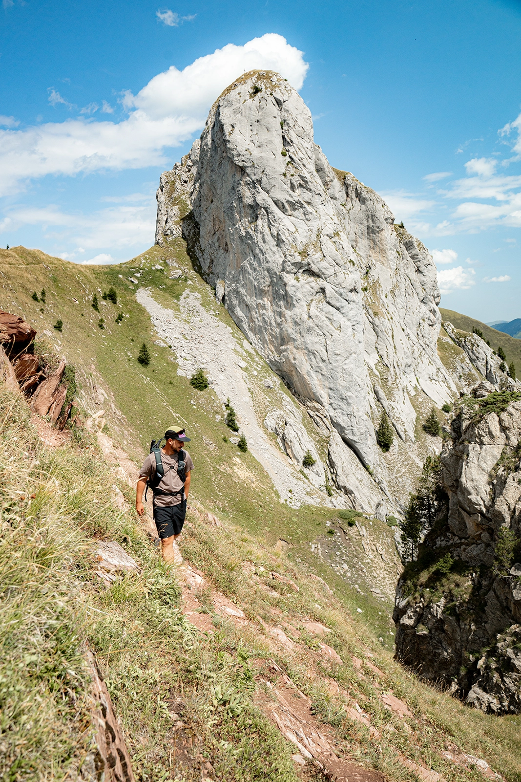
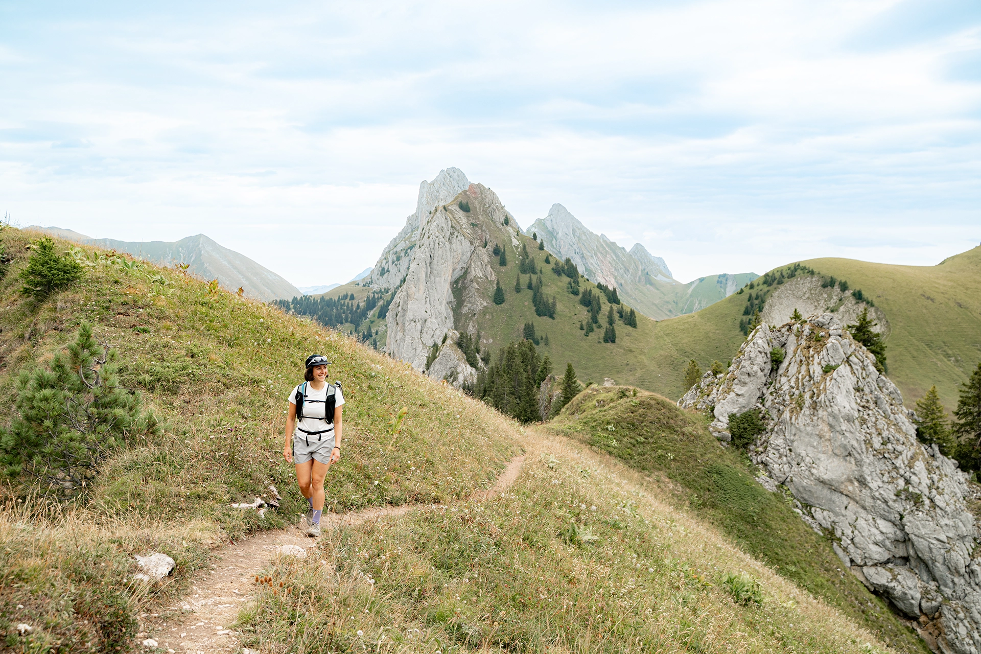
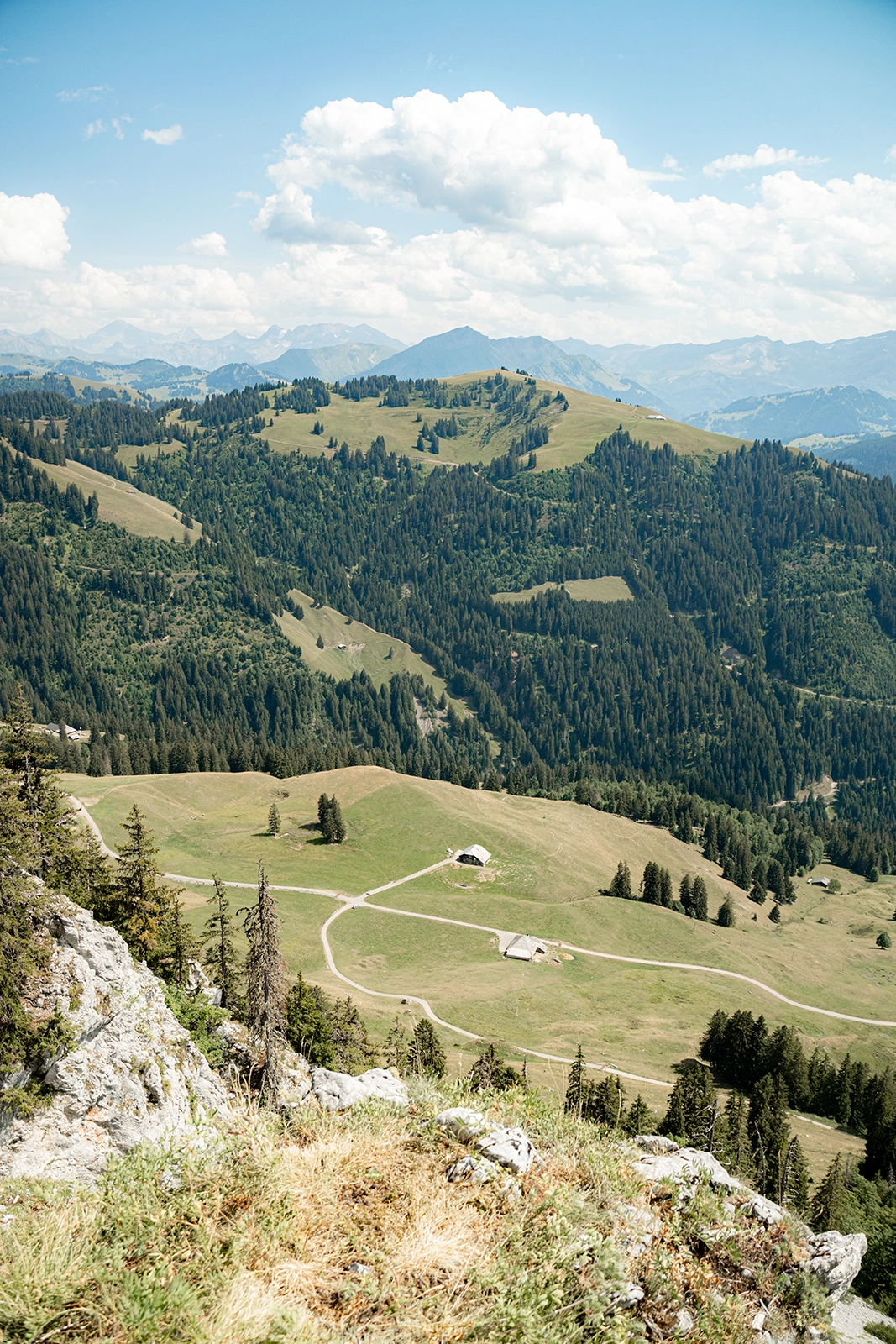
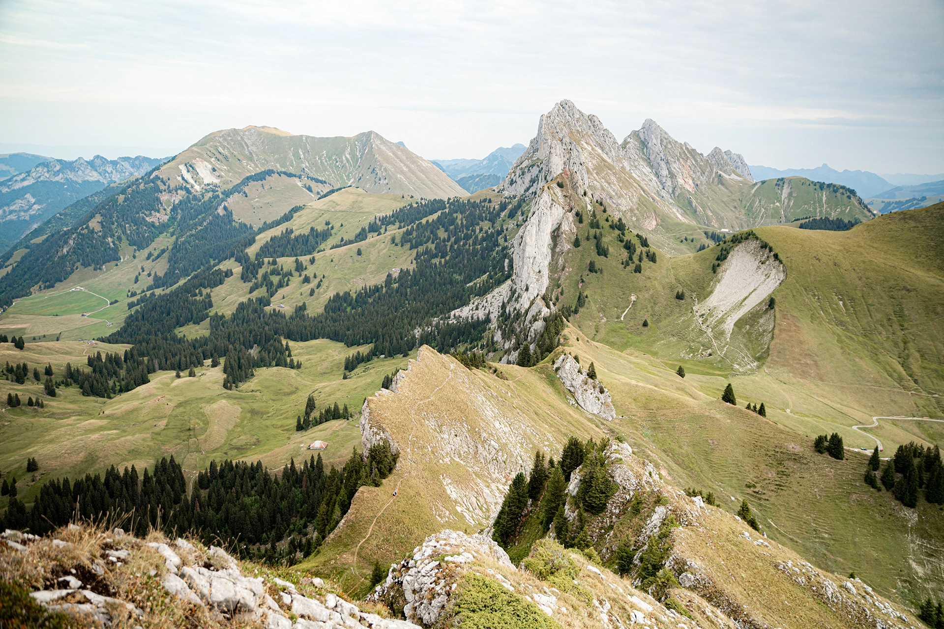
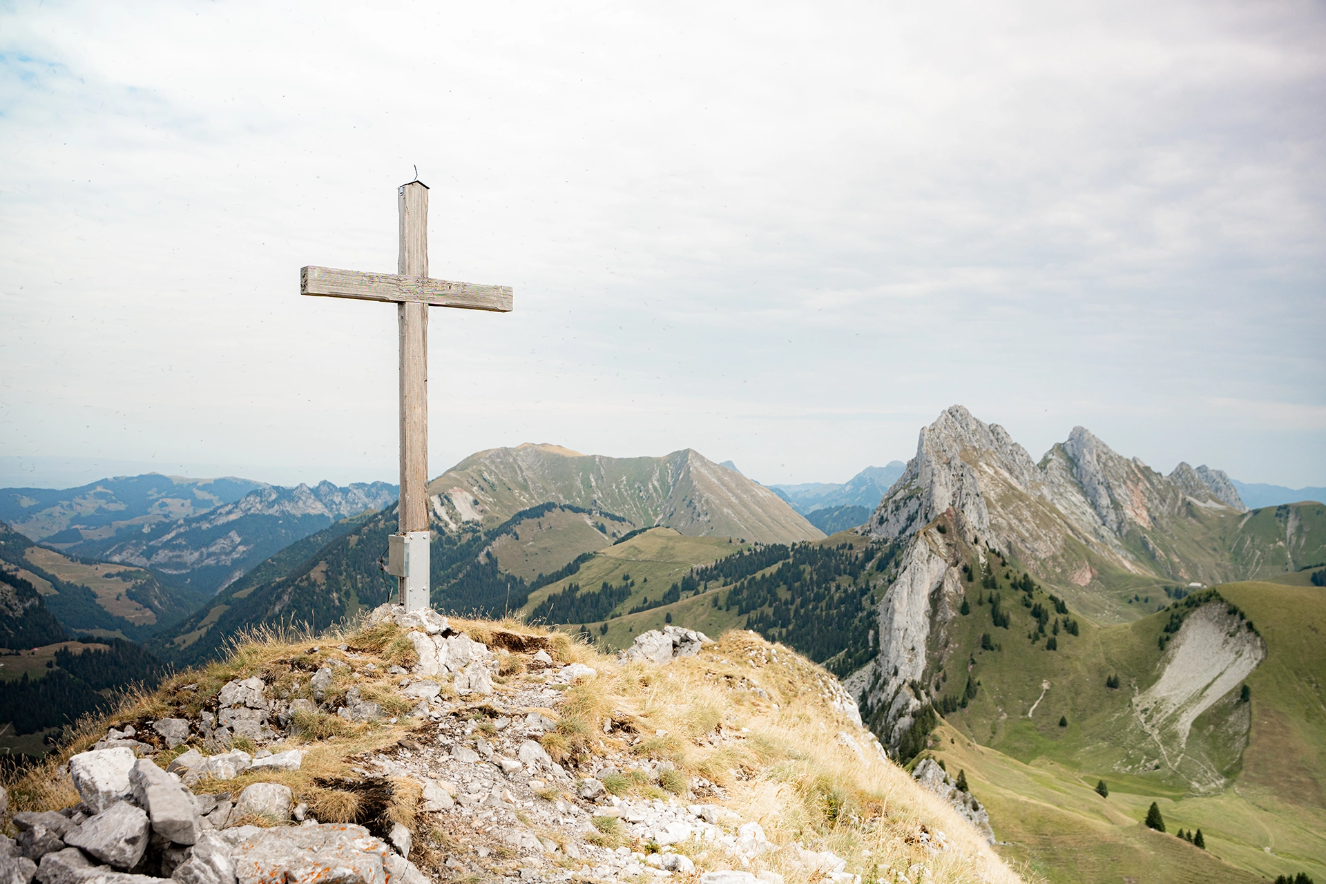
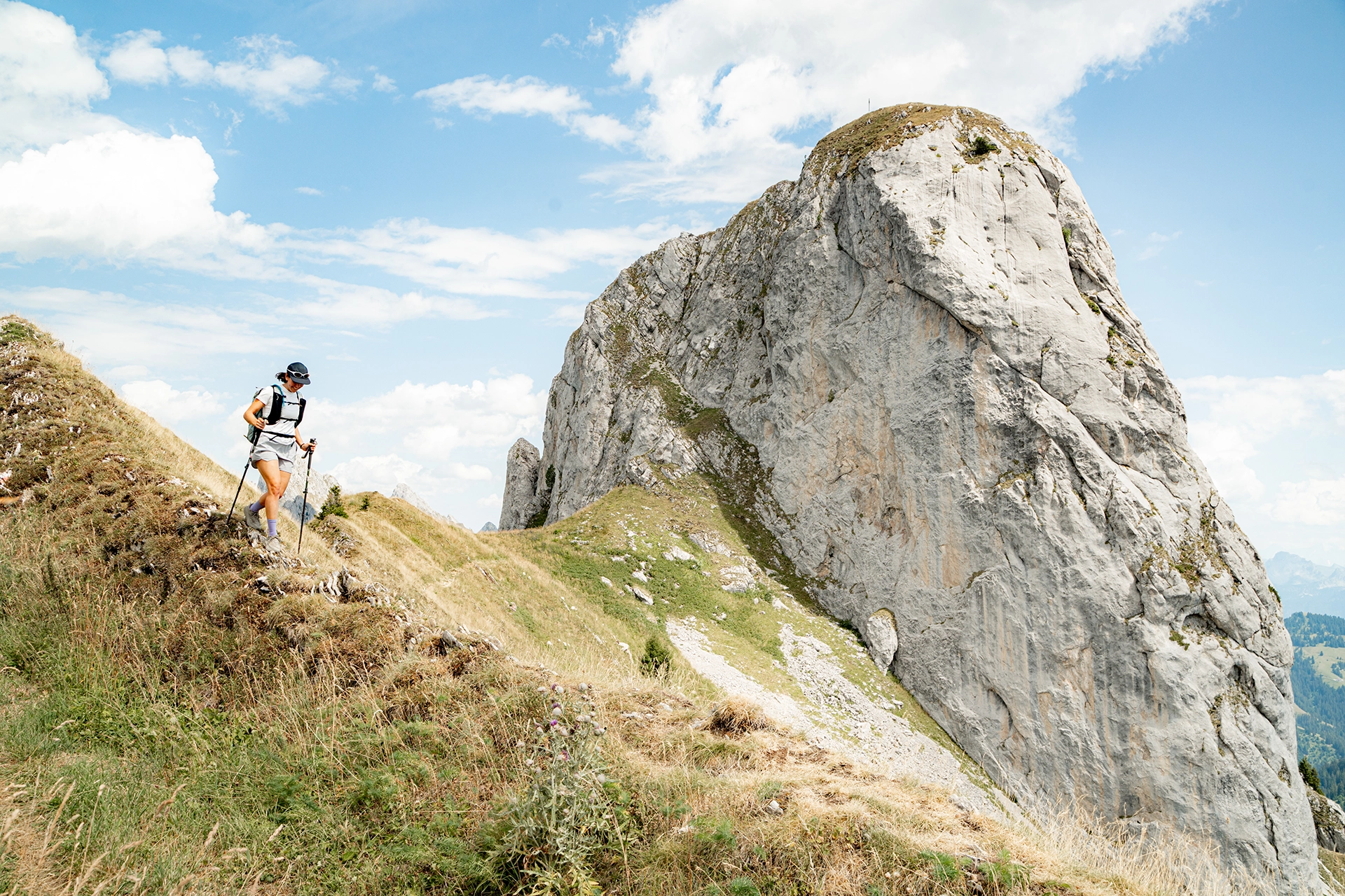
The route starts with an immediate climb towards Rocher des Rayes. As you gain altitude, the views gradually open up over the peaks of the Pays-d’Enhaut and the surrounding Prealps.
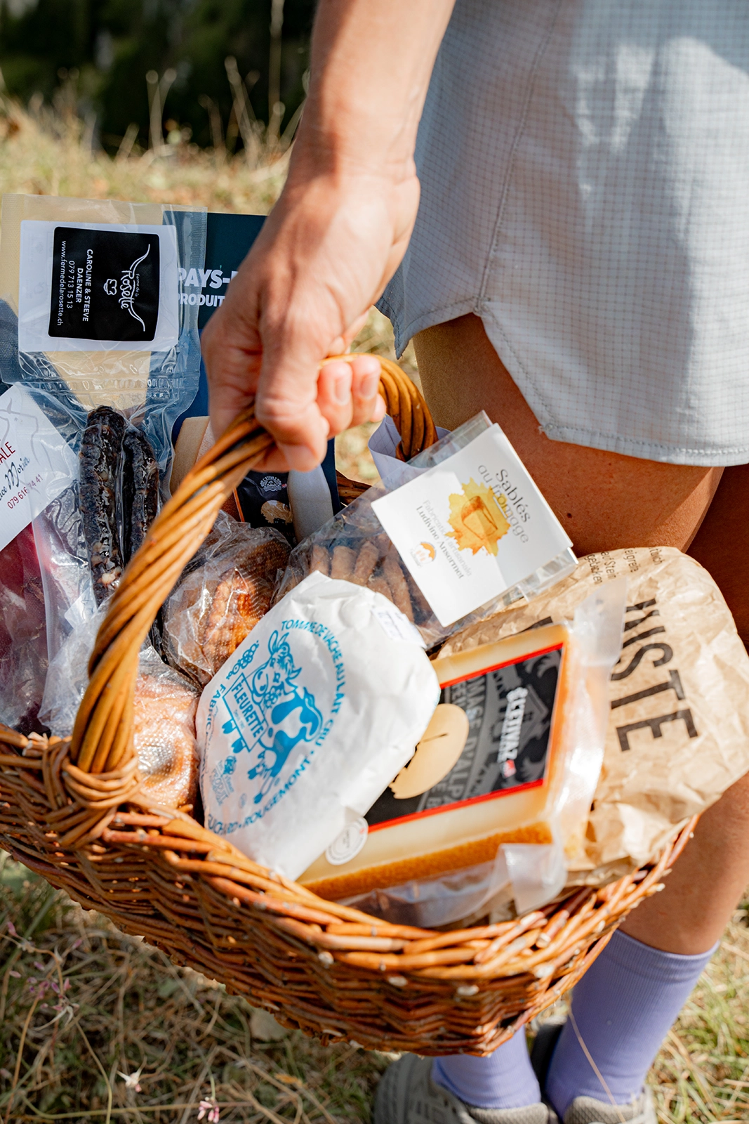
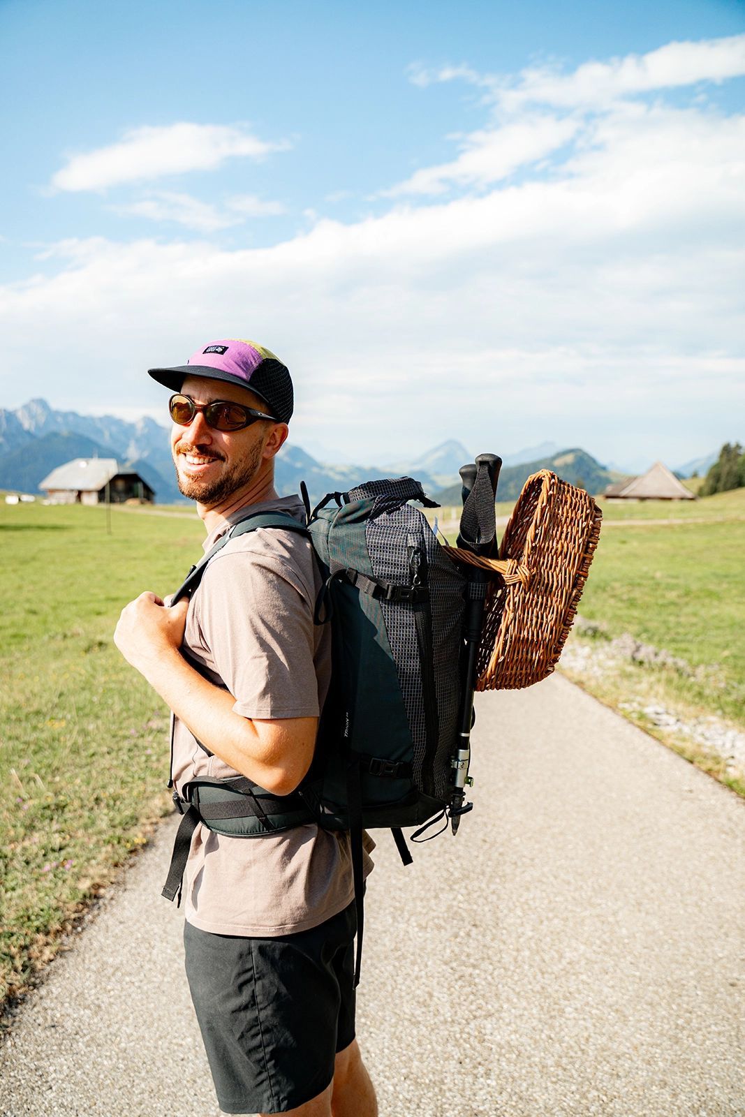
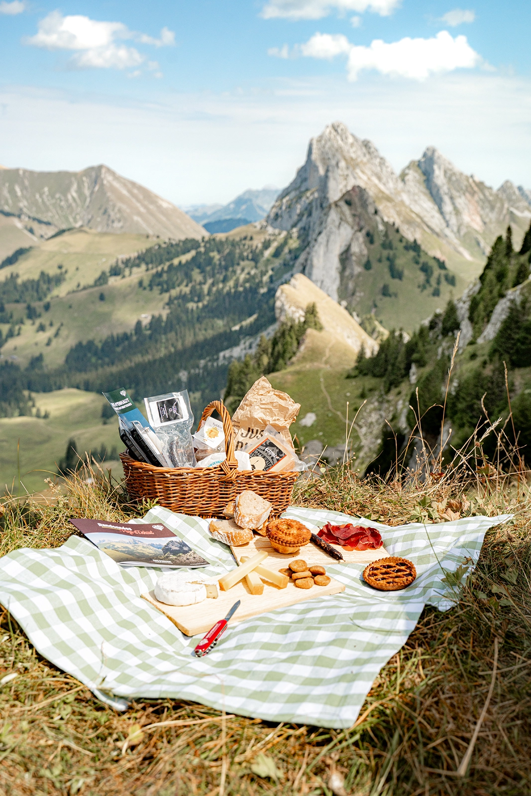
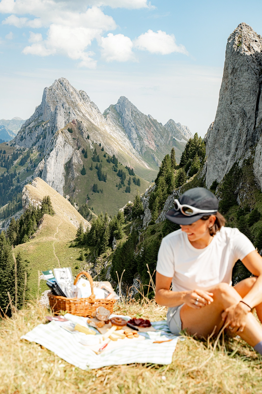
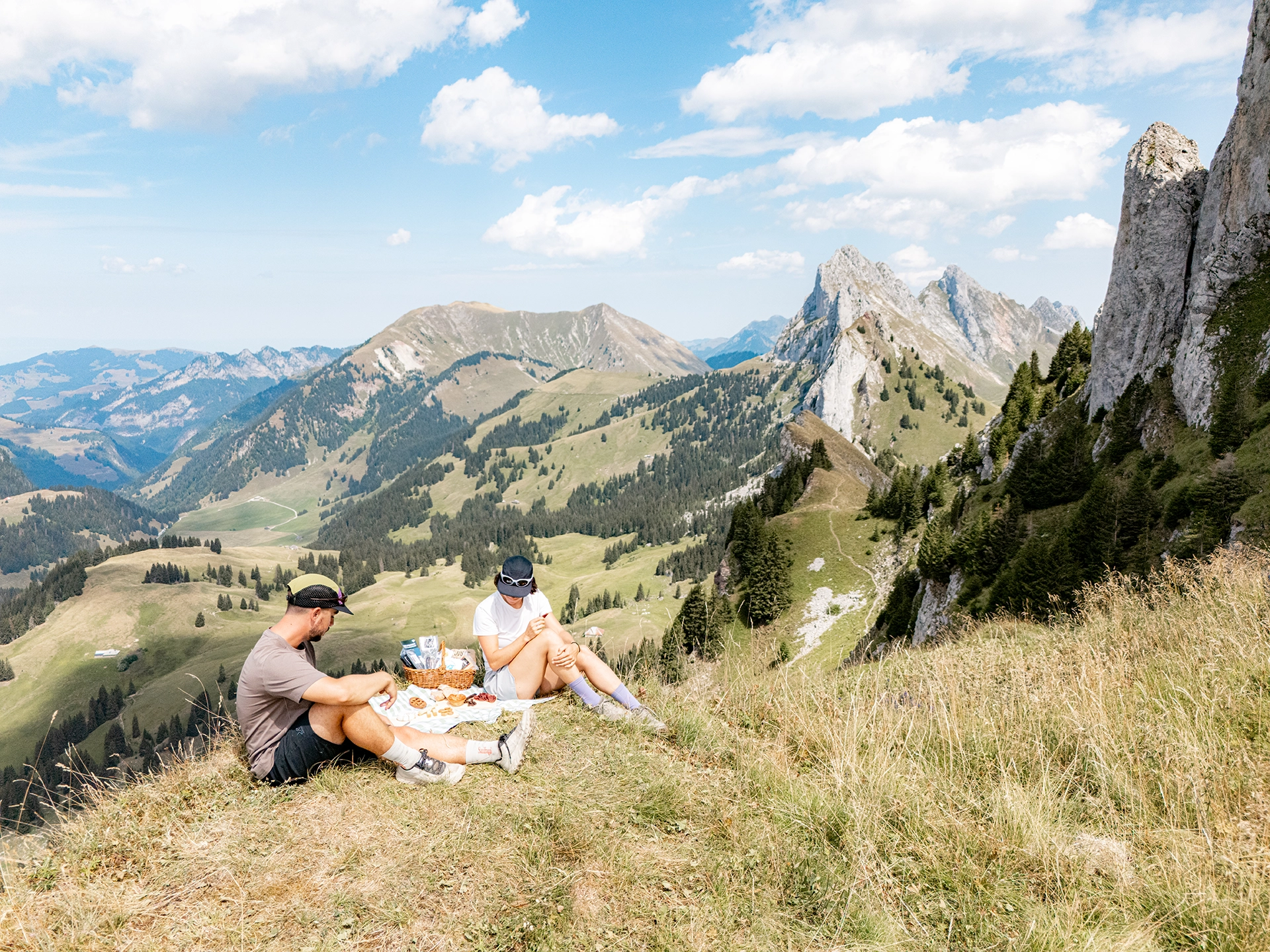
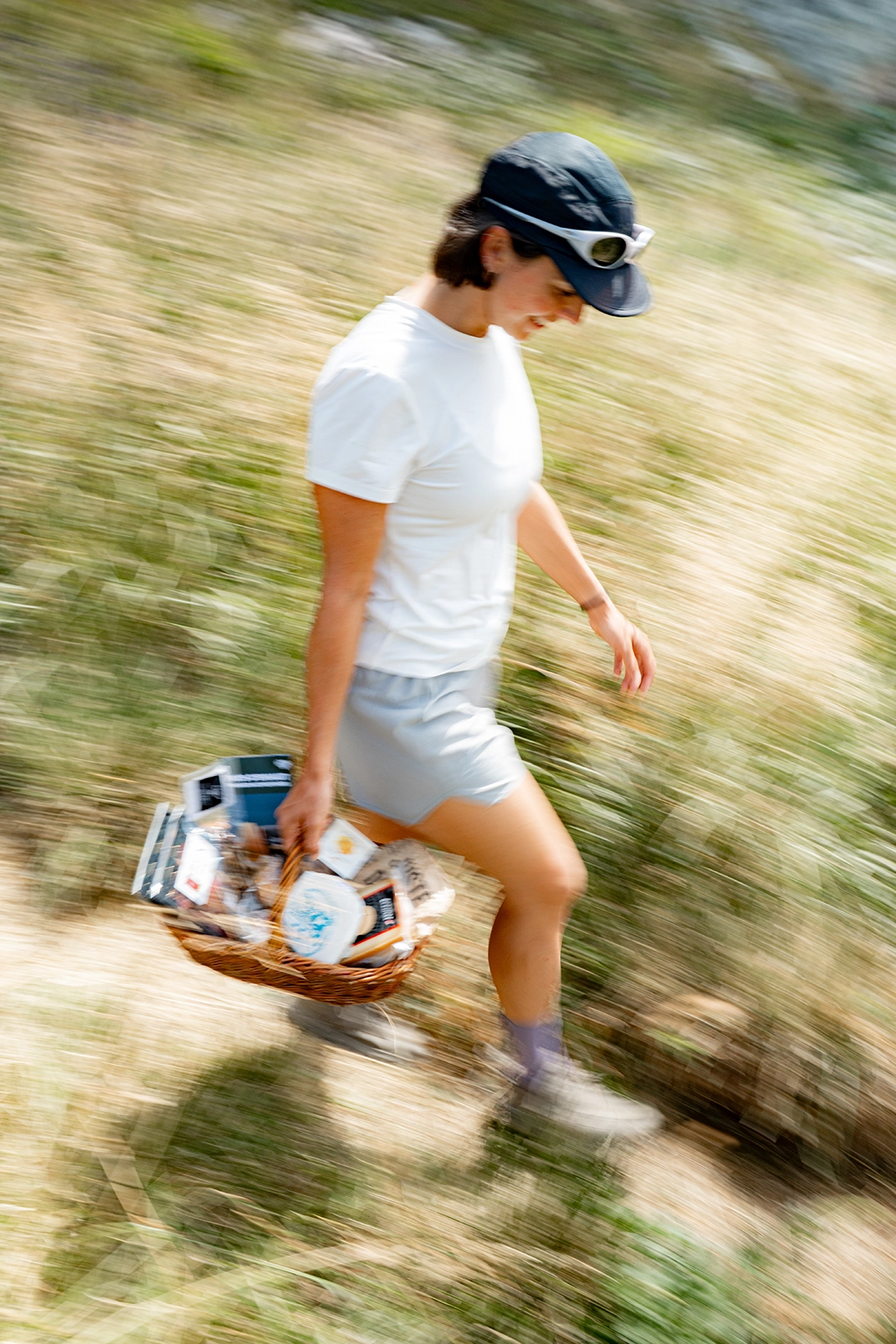
Before setting off, you can also prepare a picnic with a few local products. The Pays-d’Enhaut Produits Authentiques (PEPA) label is celebrating its 30th anniversary this year and now brings together 17 producers and almost 200 products made in the region, including cheeses, cured meats, meat, honey, syrups, herbal teas and vegetables.

It’s an easy way to put together a picnic featuring a few Pays-d’Enhaut specialities and enjoy them once you reach the higher sections of the hike. PEPA-labelled products are available from various shops and establishments throughout the region.

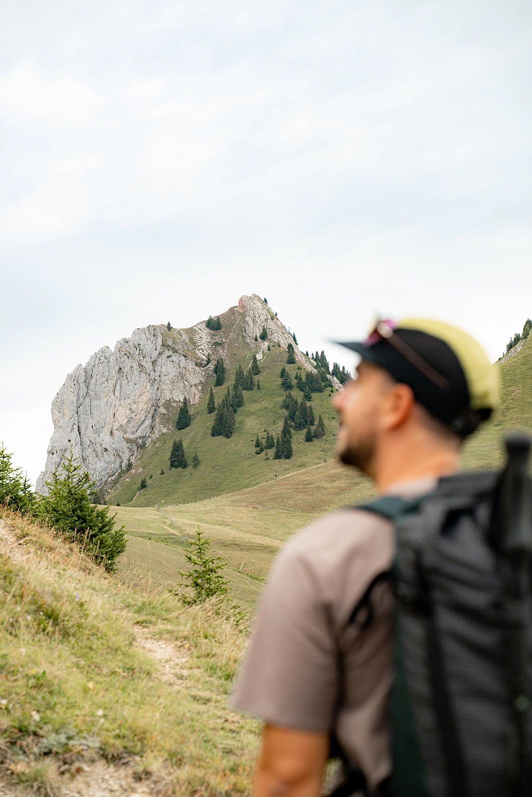
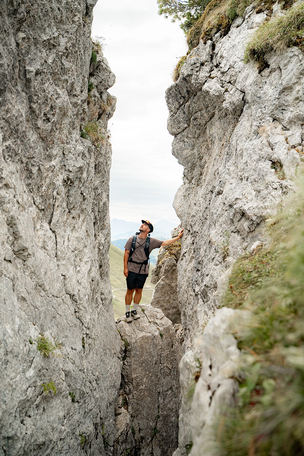
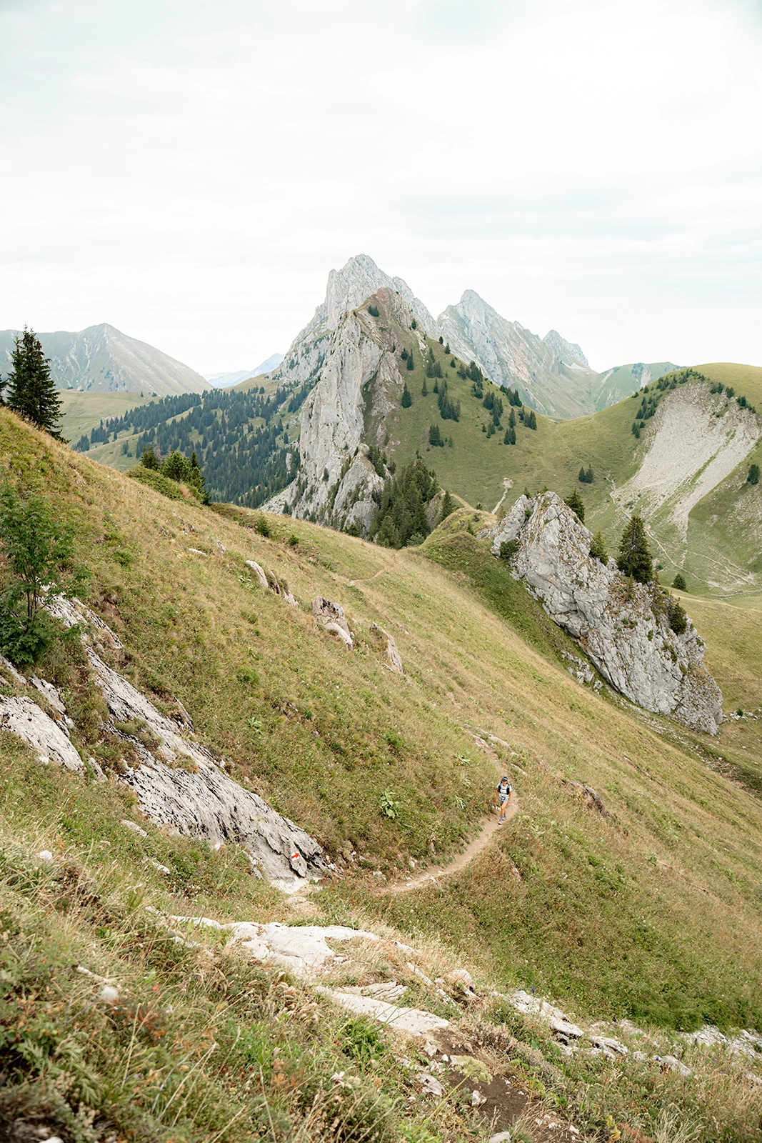
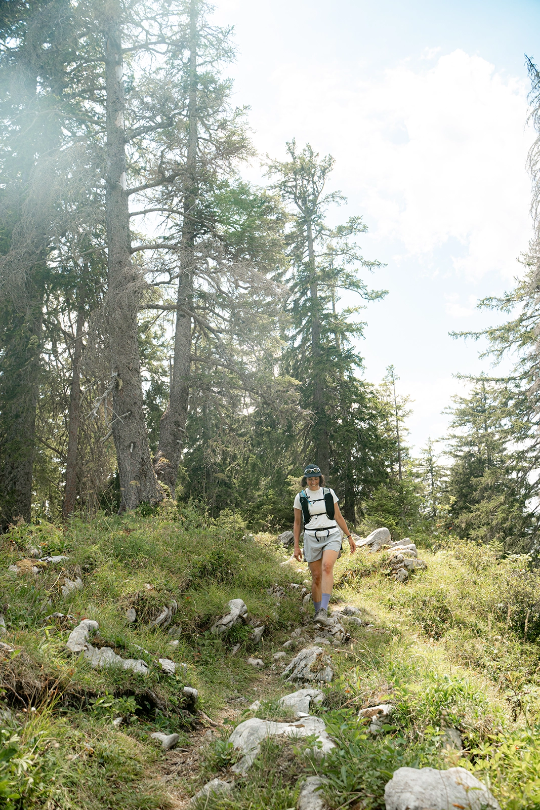
The hike isn’t particularly long, but some sections still require a little extra attention. The trail can become narrow and slightly exposed in places, with a few sections equipped with chains to make progress easier.

It’s nothing too intimidating if you’re used to hiking in the mountains, but if you’re particularly sensitive to heights, it’s worth knowing before you set off.

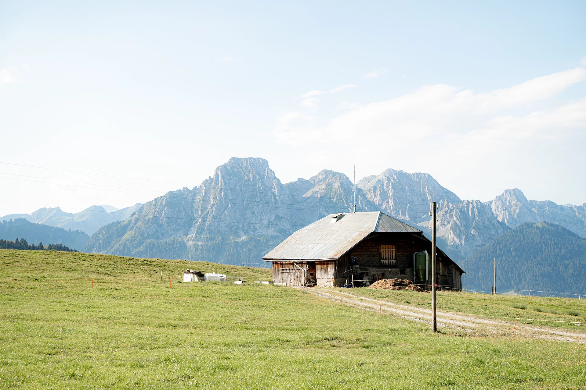
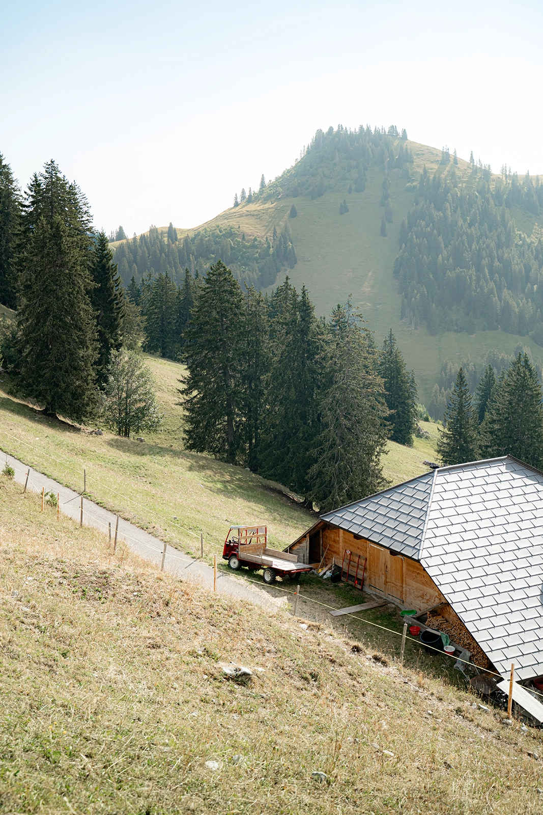
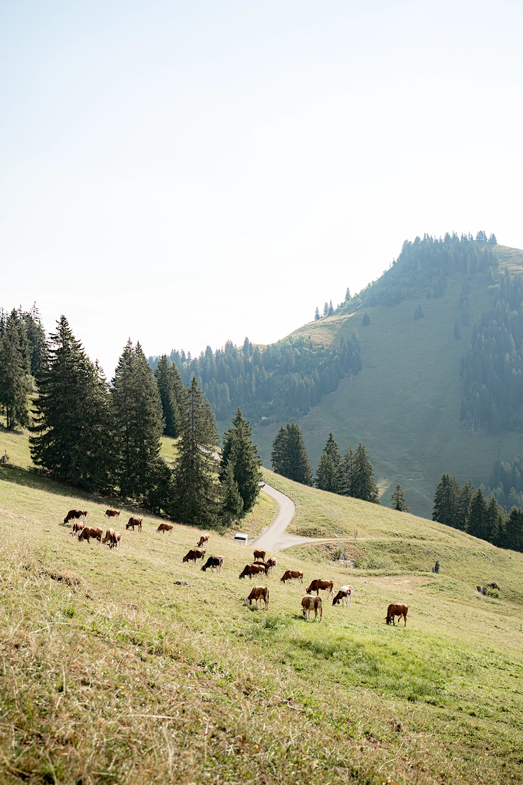
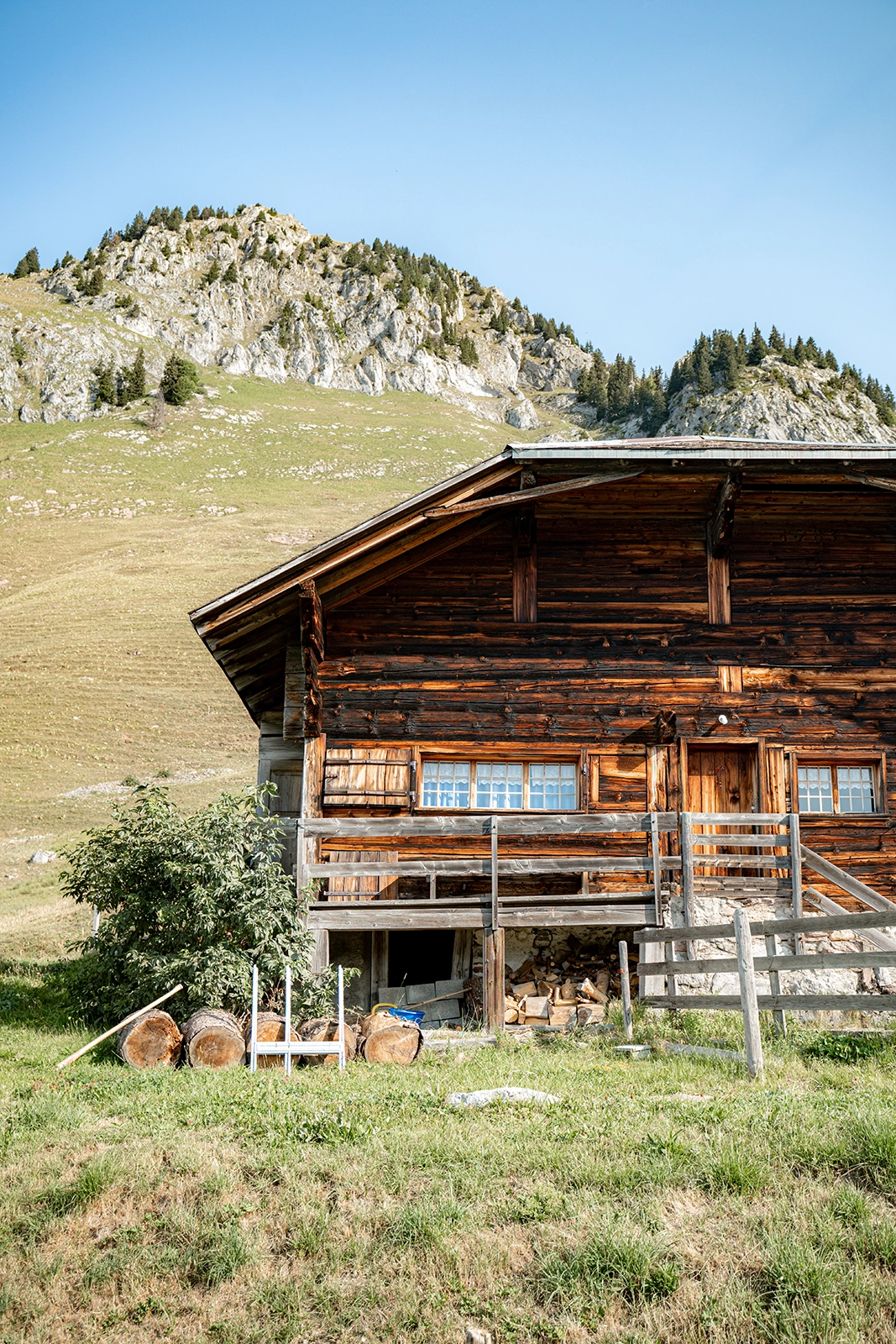
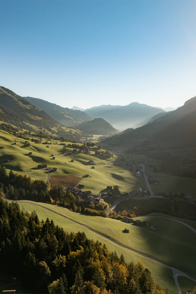
After passing around Dent de Combette, the route gradually descends towards the Vallée de la Manche. This section alternates between pastures, narrow mountainside trails and alpine chalets. A few sections remain slightly exposed, but the terrain gradually becomes easier.

Towards the end of the route, the trail passes through wooded areas again before entering the forest for the final part of the descent. The loop eventually brings you back to the road and the starting point.

We recommend doing this hike when the trails are dry. Some rocky or grassy sections can become significantly less pleasant after rain.

Optional: Climbing Dent de Combette

The climb to the summit of Dent de Combette is an optional extension of the main loop.

🥾 Around 0.6 km round trip
⛰️ +110 m
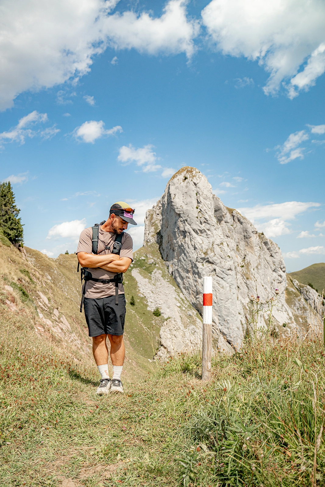
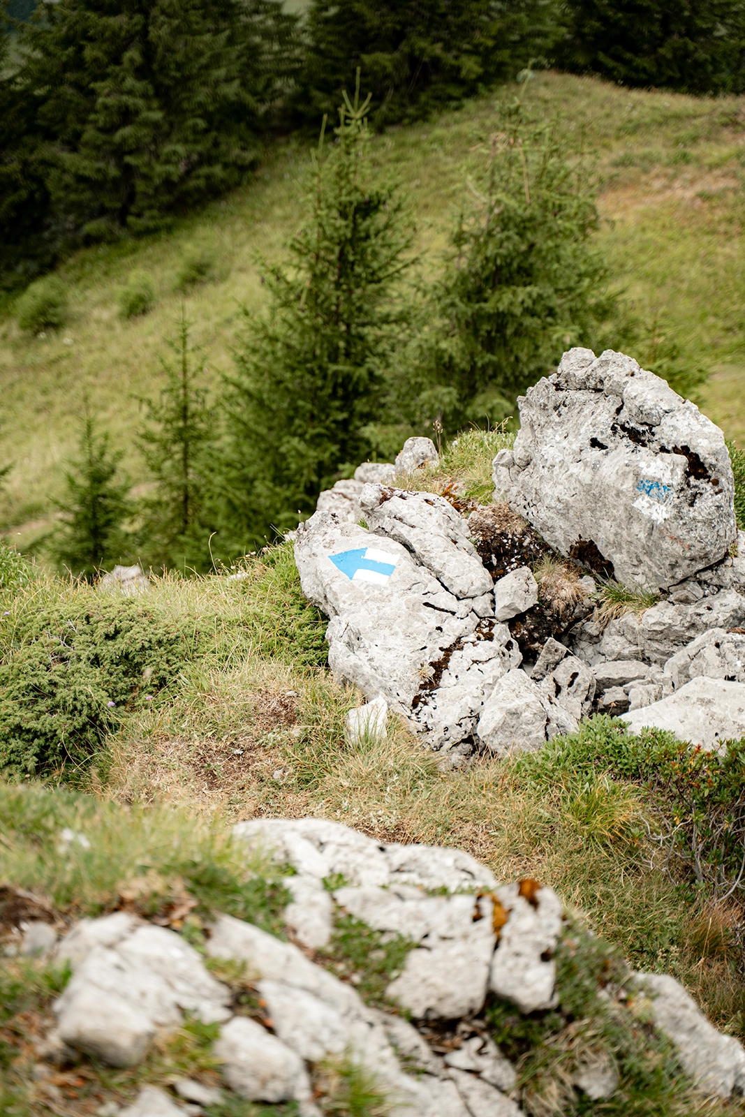
🏔️ Difficulty: T4 – blue-and-white markings

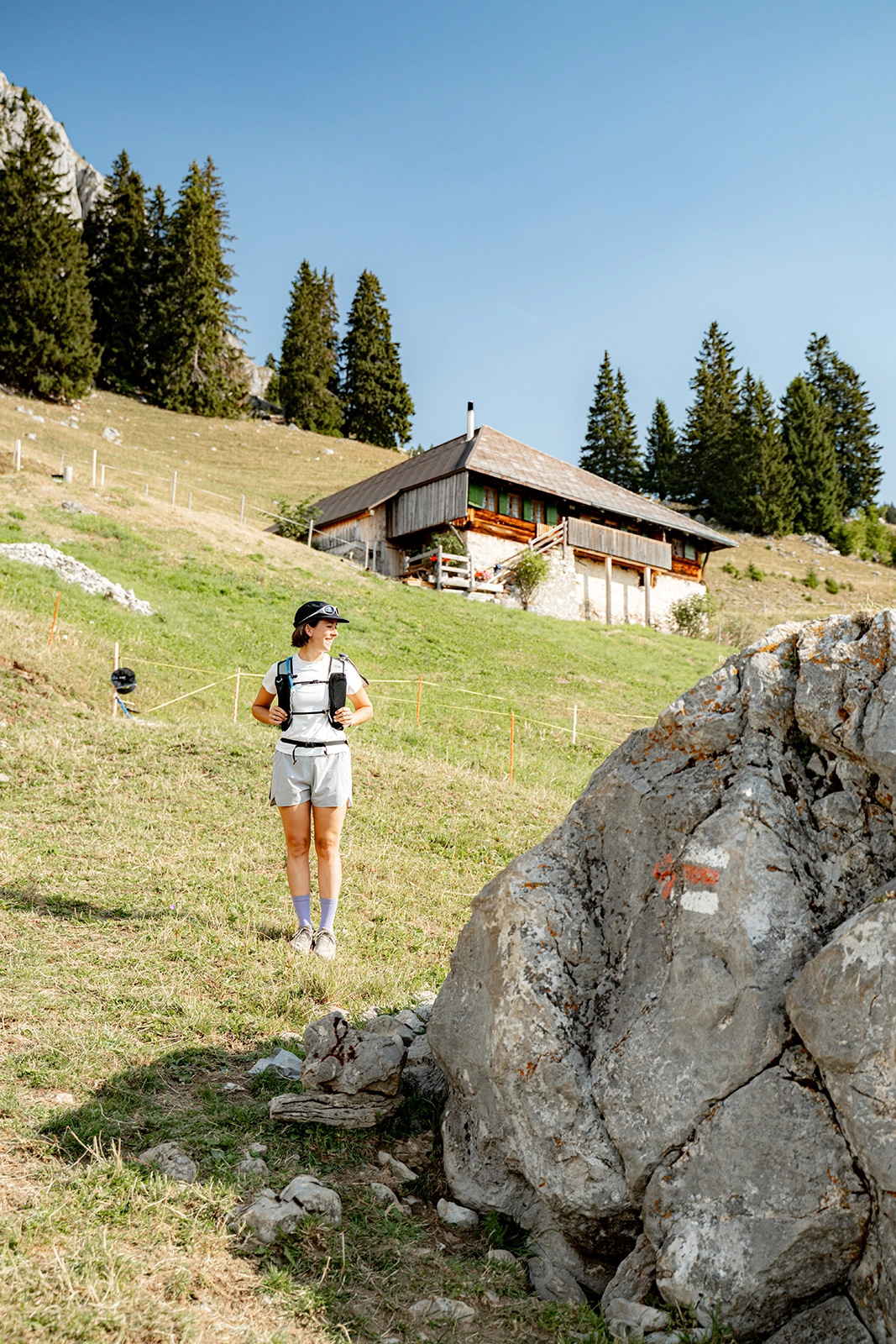
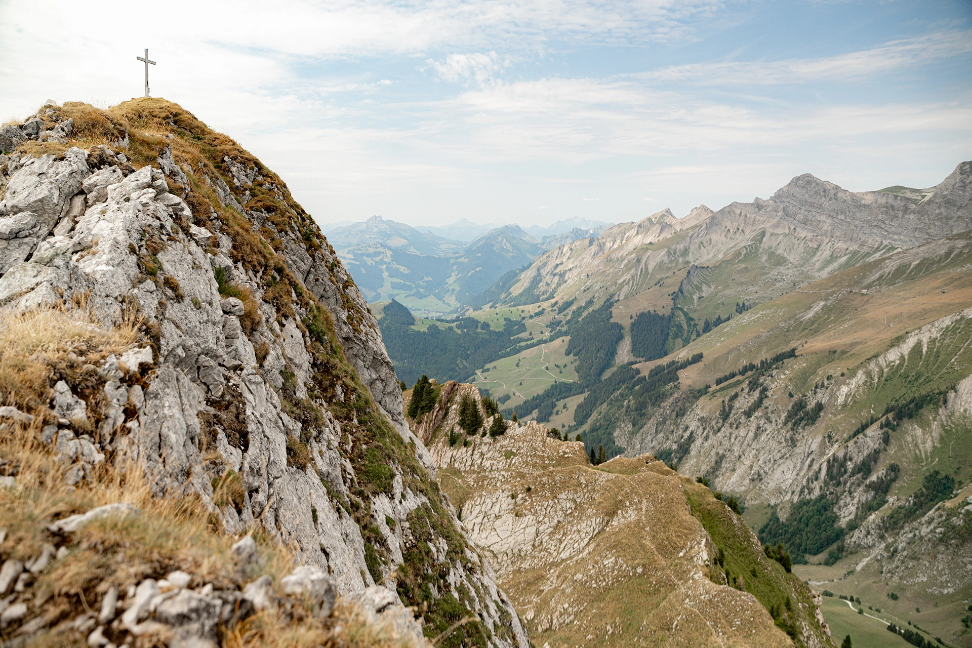
From this point, you leave the red-and-white mountain hiking trail and follow a blue-and-white alpine route. The difficulty clearly increases: the trail becomes steeper and more exposed, requiring sure-footedness and confidence with heights.

This section isn’t necessary to complete the loop. If you’re sensitive to heights or don’t feel comfortable when you reach the blue-and-white trail, it’s better to simply continue along the main route.

To give you an idea, Audrey decided to turn around during the climb because some sections were too exposed for her. Don’t hesitate to do the same if you don’t feel comfortable.

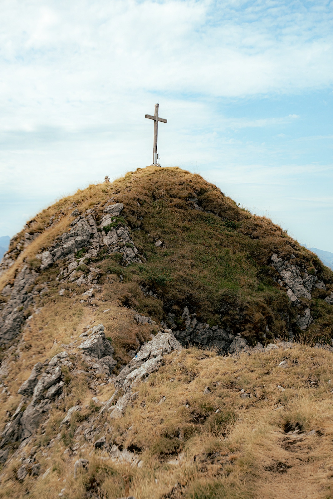
For hikers who are used to alpine routes and comfortable on T4 terrain, you can continue to the summit of Dent de Combette before returning along the same trail and rejoining the main loop.

The hike on Swisstopo

You can find the route on Swisstopo below.

If you’re viewing this from a mobile device, you can open it directly in the Swisstopo app by clicking here.

When is the best time to go?

This hike is best done between June and October, once the route is free of snow.

In early summer, the pastures are particularly green and full of wildflowers. In September and October, temperatures become more pleasant for hiking and the colours gradually begin to change.

We don’t recommend doing this route in wet conditions. The rocky sections, grassy slopes and sections equipped with chains are much more enjoyable when the ground is dry.

What should you bring?

Even though the hike is only 7 km long, there are a few things we particularly recommend bringing:

  • Hiking shoes with good grip
  • Hiking poles for the ascents and descents
  • 1–2 litres of water per person
  • Snacks or a picnic, as there are no restaurants directly along the route
  • A windproof jacket
  • Sunscreen and sunglasses
  • A map or GPX route downloaded in advance

If you’re planning to climb to Dent de Combette, good hiking shoes and confidence on exposed alpine trails are essential.

Discover local products from the Pays-d’Enhaut

The Pays-d’Enhaut is also home to a wealth of local know-how, which you can discover through its regional products. This year, the Pays-d’Enhaut Produits Authentiques (PEPA) label is celebrating its 30th anniversary.

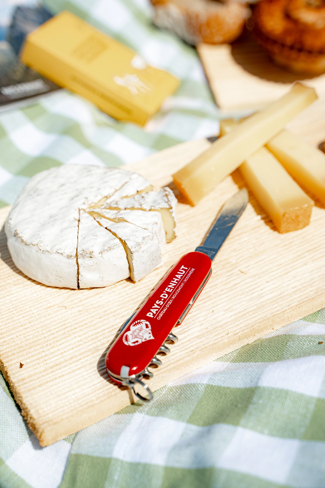
Today, it brings together 17 producers and almost 200 certified products made in the region, including cheeses, tommes, cured meats, meat, honey, syrups, herbal teas and vegetables. Among them is the famous L’Etivaz AOP cheese.

A great idea is to stop at one of the local shops before your hike and put together a picnic with a few products from the Pays-d’Enhaut. It’s a simple and tasty way to discover another side of the region. 😁

PEPA products are available directly from producers as well as from various partner shops and establishments throughout the region.

An accessible hike off the beaten track and away from the crowds

At 7 km with around 600 metres of elevation gain, this loop is a great way to discover a slightly wilder side of the Pays-d’Enhaut without committing to a full day of hiking.

The route remains relatively short, but its few exposed sections and chains give it a more mountainous feel than the easier hikes in the region.

The optional climb to Dent de Combette gives more experienced hikers the chance to add a real challenge, while everyone else can simply enjoy the main loop and the scenery.

And to make the most of the experience, don’t forget to pack a few Pays-d’Enhaut Produits Authentiques products in your backpack. It’s a great way to discover the region’s local craftsmanship while enjoying a picnic in the mountains.

Did you like the article ?
Pin it !

Leave a Reply

Your email address will not be published. Required fields are marked *